Hérault’s valley by The Aigoual Mountain
6 to 7 day hiking loop
This itinerary is for people who are already used to walking.
The route is between 500 to 1200 meters above sea level.
Highest point: Mount Aigoual (1570m)
Route in a loop, clearly visible in the lanscape. A large path runs along ridges on the transhumance drailles; wide paths taken by the flocks to reach the mountain.
Open landscapes where we discover the magnificent panorama of the Cevennes valleys.
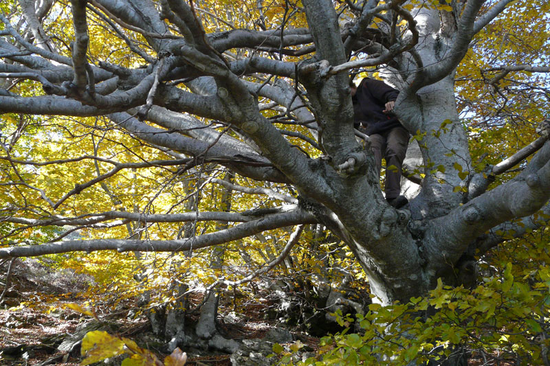
Mountain vegetation on the Aigoual massif, forests, undergrowth of pines and beech trees.
Then we find on the foothills the opening of a wild space where scattered granite stones share the moors of broom and heather.
3H 30 walk on day 2, rest time not included.
4H walk days 1, 4, 6, and 7, rest time not included.
4H 30 to 5H walk on days 3, and 5, rest time not included.
For an overview:
IGN map of the Cèvennes National Park..
For the walk:
IGN Top 25 2741 and "ST Hippolyte du Fort" maps
IGN Top 25 2641 Maps and "Mount Aigoual"
For more details or to receive the technical sheet of the hike contact us.
Stay at
the Mas Corbières
the Mas Corbières
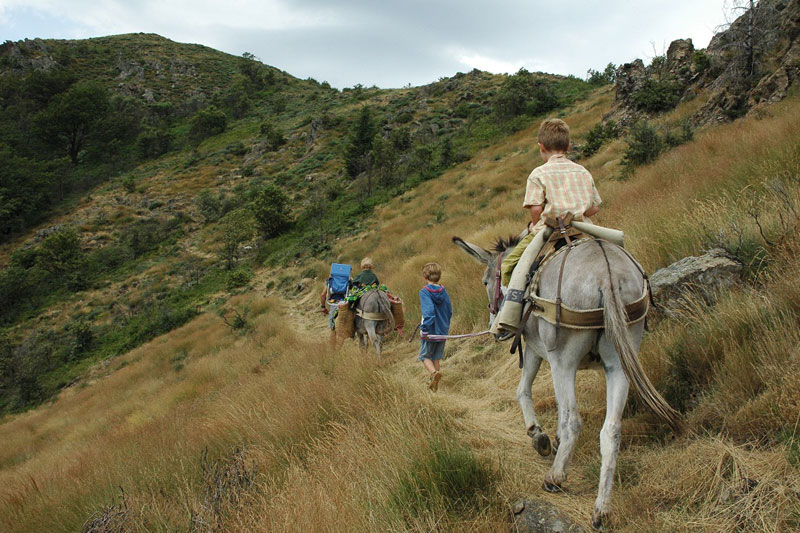
To take a break, take your time. A short stay that combines rest and walks at your convenience…
Transhumance Draille &
Liron Mountain
Liron Mountain
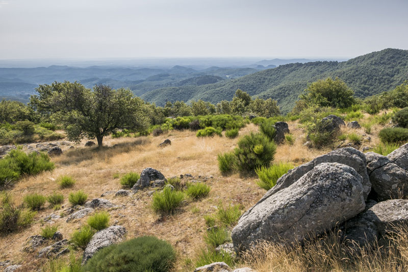
Tracking on the paths of transhumance, in an open landscape on all the Cevennes valleys...
Hérault's valley &
small Cévenoles valleys
small Cévenoles valleys
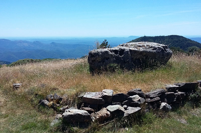
Varied landscapes of ridges and valleys to the foothills of the Lingas massif, more at higher altitudes...
Hérault’s valley by
The Aigoual Mount
The Aigoual Mount
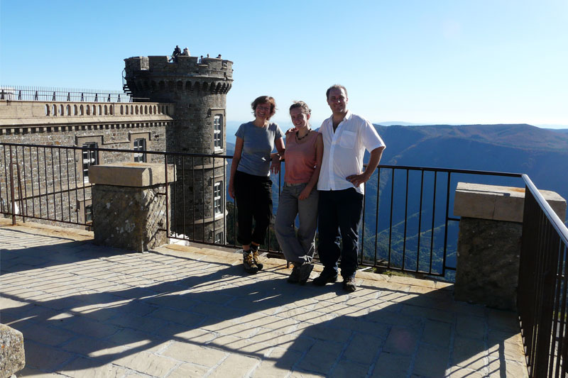
The route is between 500 to 1200 meters above sea level. Highest point: Mount Aigoual 1570m...
Transhumance draille &
north
valley of the Aigoual Mount
valley of the Aigoual Mount
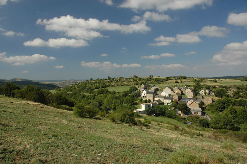
Crossing the gorges of the Jonte, Dourbie and Trévezel, Causses Méjean and Comeiras...
The Big
Adventures
Adventures

The biggest route connects the Aigoual Massif through the Jonte, Trévezel and Dourbie gorges...


