The Big Adventures
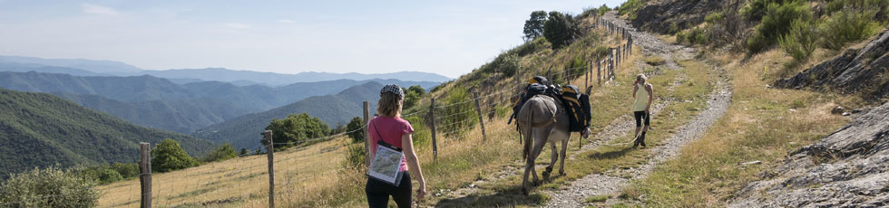
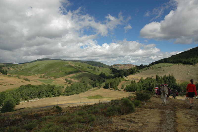
The widest route connects the Aigoual massif through the Jonte, Trévezel and Dourbies gorges, and Liron Mountain. We cross the Herault valley to reach the small Cevennes valleys.
Wild and varied landscapes:
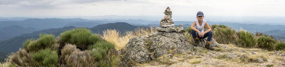
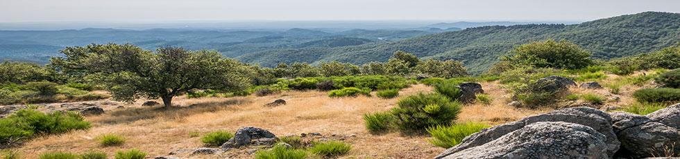
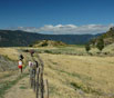
The transhumance draille, a wide path of ridges used by flocks of ewes to reach the mountain, opens us up to an infinite panorama of ridges, view of the causses, Mount Lozère to the north and south, the sea (between 900 to 1200m ).
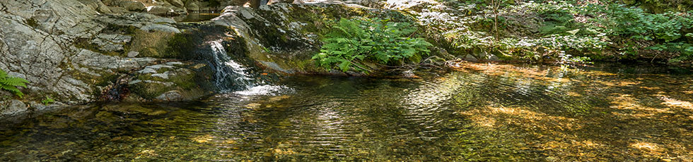
We take advantage of the cool climate that we find higher up in the wooded Aigoual massif (Mount Aigoual: altitude 1570m). Very nice swimming in the 3 large rivers that are crossed. The causses, limestone plateaus unwind into a patchwork of cultivated fields and sinkholes.
We discover on the lingas, south slope of the Aigoual, a landscape of character, moors and brooms in which stand here and there big scattered granite stones.
 |
 |
|---|
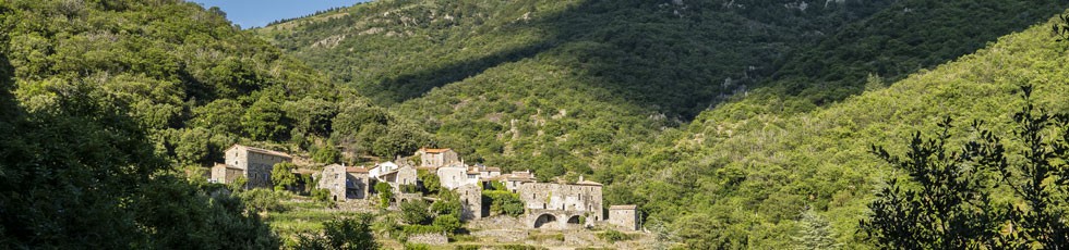
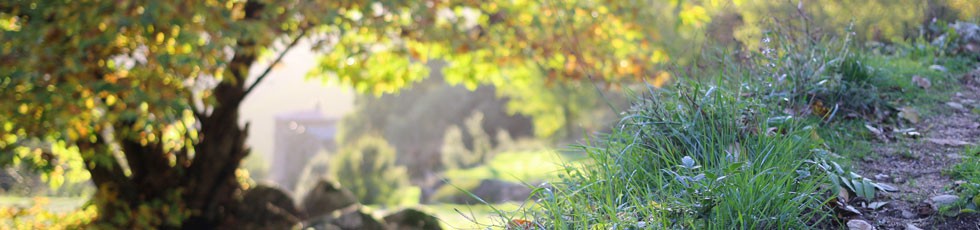
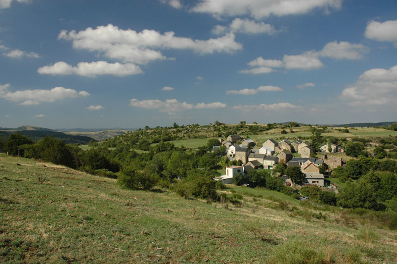
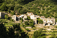
We find more frangmented landscapes passing the Hérault valley, and we discover the small Cevennes valley (between 500 to 900 m in altitude) with the small hamlets of mountains and the terraced gardens; the streams and rivers offer us places for relaxation and fun. Passage through very pretty hilltop villages, with impressive stone houses.
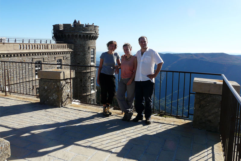
Warm family welcome on farms or homestays.
A mixture of intimacy and strength emerges from these landscapes both shaped by the work of man but also very wild and difficult to access. The transhumance drapery, which winds through ridges, magical, from planted stone to planted stone, will take us back to the Mas Corbières.
14 days: 11 days of walking, 3 break days (beautiful walks under the stars, rest or swimming)
Sessions of 4 to 5 hours of walking per day, rest time not included
We can shorten the loop by staying in the Mont Aigoual sector and Hérault valley. This allows you to do the same trek over 2 days and stay up in altitude.
For an overview:
IGN map of the Cèvennes National Park..
For the walk:
IGN Top 25 2741 and "ST Hippolyte du Fort" maps
IGN Top 25 2641 Maps and "Mount Aigoual"
For more details or to receive the technical sheet of the hike contact us.
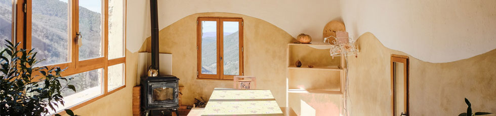
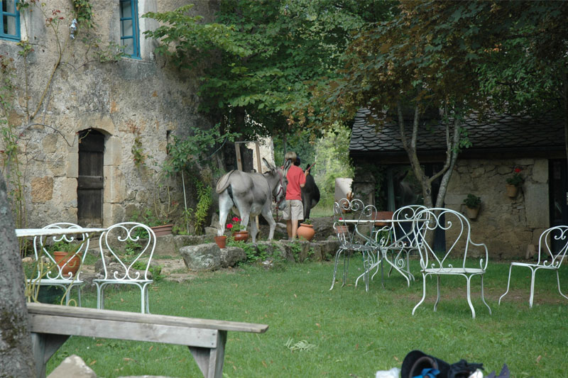
the Mas Corbières
To take a break, take your time. A short stay that combines rest and walks at your convenience…
Liron Mountain
Tracking on the paths of transhumance, in an open landscape on all the Cevennes valleys...
small Cévenoles valleys
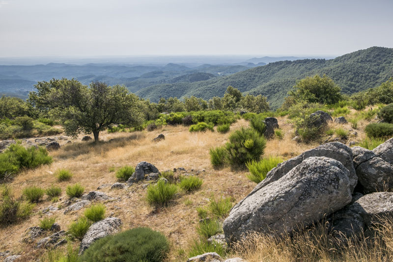
Varied landscapes of ridges and valleys to the foothills of the Lingas massif, more at higher altitudes...
The Aigoual Mount
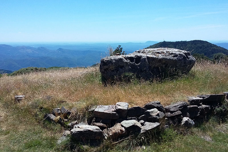
The route is between 500 to 1200 meters above sea level. Highest point: Mount Aigoual 1570m...
valley of the Aigoual Mount
Crossing the gorges of the Jonte, Dourbie and Trévezel, Causses Méjean and Comeiras...
Adventures
The biggest route connects the Aigoual Massif through the Jonte, Trévezel and Dourbie gorges...
The day before your departure or at the end of the hike the cottages of the Mas Corbières welcome you in a remarkable site ....
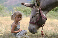
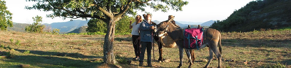
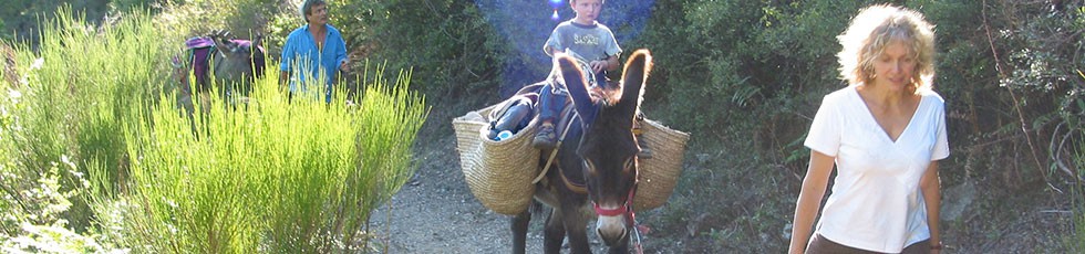
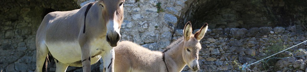
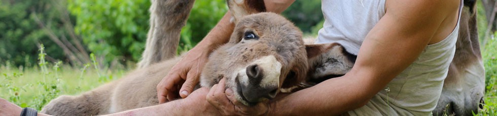
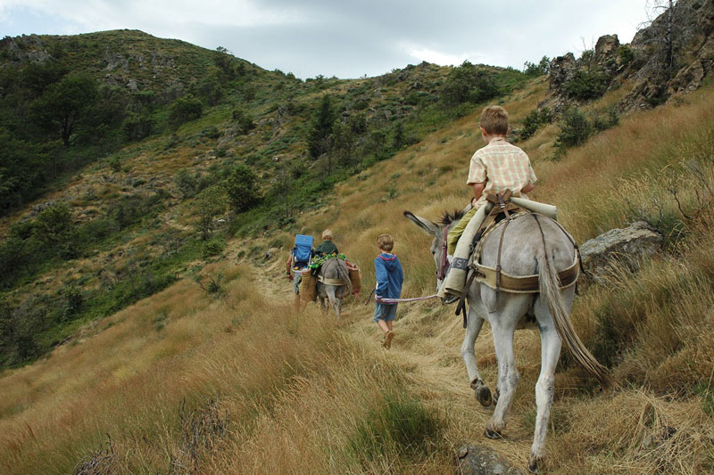
In the company of one or more donkeys, between adults, with the family, you go alone or accompanied by a guide ...
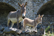
We have been breeders for 30 years in this hamlet of the Cèvennes National Park. The "Ane de Provence" breed has been acknowledged since 1995...